|
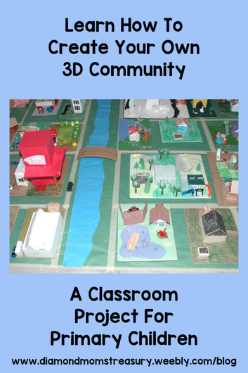
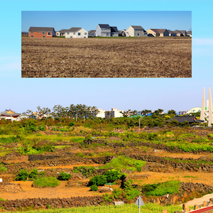
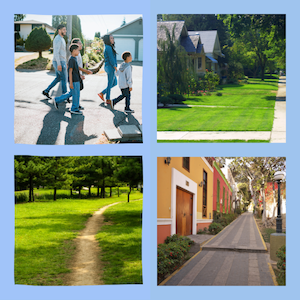
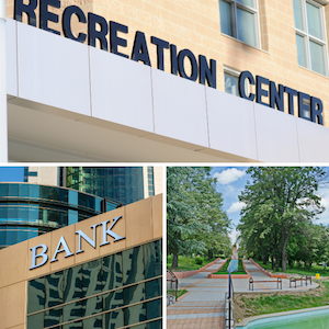
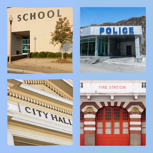
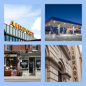
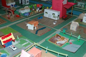
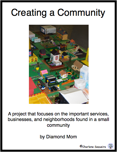
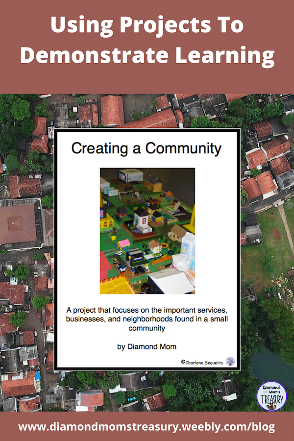
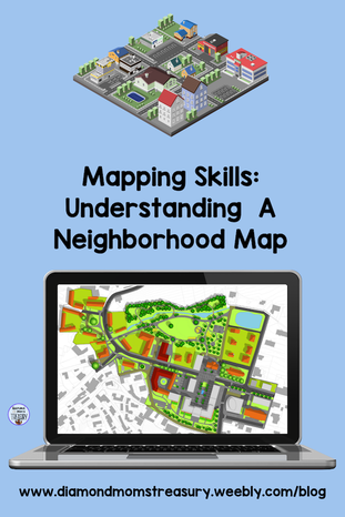
Part of learning about the world around us in primary grades is learning about different kinds of communities. One of my favorite activities to do with primary kids is create a 3D community in my classroom. This is a very child centered unit and involves many different aspects before the community is actually created. Steps For Creating A CommunityHave you ever thought about creating a community with your class? I have done this a few times and it has always been a favorite memory for my students. First of all, it is important the children understand what a community is and what kinds of communities there are. We look at resources that represent urban, suburban, and rural communities and we talk about what makes them the same or different. We talk about what they look like, what kinds of services they might have, and what different kinds of community helpers might be involved there. We also talk about where we might find these types of communities. Next we take neighborhood walks and we look at the area around us. We take note of the various types of buildings, services, parks, etc. We also think about where they are located in relation to each other. We discuss what other services might be nearby and why they might be important. We also think about other services that might be in the community, but located in different areas. For example, the essential services might be located in the center of the community, but an airport might be located on the outskirts of the community. We then think about what services are needed, and what services might be nice to have, but are not essential. For example, some shopping centres are needed, but it is not necessary to have several different ones. Planning The 3D CommunityOnce we determine that some services are needed and some are maybe just nice to have, we decide which ones will be included in the community that we create. This is where the neighborhood planning come in. We decide on what our community will be like, what is needed, whether there will be a river or other body of water nearby, what type of traffic grid is needed, and where certain types of services and buildings will be located. We talk about scale and how that will be important when creating the 3D community. In my classes, I use a small milk carton as the guide. The carton is the size of a typical home. Each child is given a piece of cardboard as their lot, and a milk carton as the basis of their home. It is important that they understand that anything they add to the property should be scaled to fit the proportions of the home. For example, a toilet paper roll would not work as a tree because it is way too big, however, a straw might work. Once the plan is decided on by the class, then I divide up the different services so that each student is responsible for creating one. If there are more children than services, I will pair them up on larger projects such as the hospital or the school. I include things like parks and playgrounds as different extra places to create as well. Putting It All TogetherAfter all the planning and discussion, the fun begins. Each child takes home their materials and begins to create their properties and service buildings or parks, etc. While this is going on, the area where the community will be placed is prepared. it is fun to watch the children take ownership of the space and the excitement mounts as the land and water areas are added. We then create a storyboard of our journey through the planning process and the completion of the project. Upon completion, it is time to share. Classes are invited to come and take a look, and families are invited for an afternoon of activities and a big celebration. I have created this activity for those wishing to create a small neighborhood map. Click the image to get your copy. If you would like to see a copy of the plan that we used and some of the materials included, check it out here. My class had a great experience creating this community. I wish you success as you venture to create one in your classroom. I would love to see pictures or hear about it if you do create one. Don't forget to get your free copy of the booklet, Creating a Neighborhood Map. Related Posts
0 Comments
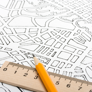
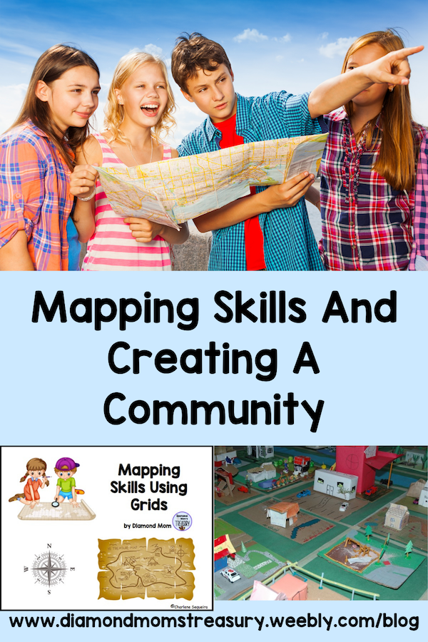
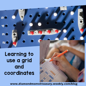
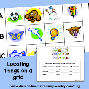
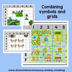
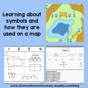
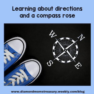
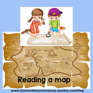
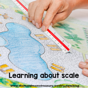
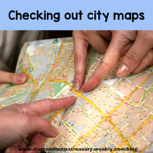
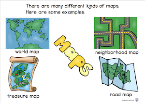
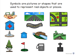
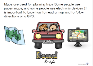
Mapping skills are fun to teach and they are important skills for kids to learn. They will be skills that can be used throughout life for reading and interpreting maps, travel, navigation, and understanding the vastness of a country and the world. What are some of the different skills needed? There are many different elements to understand in mapping. Primary children are able to learn how to use grids, directions, legends, symbols, and scale. One of my favorite ways to teach using a grid and coordinates is to play Battleship. We didn't own the game, but my father used to draw out grids on paper and we would play the game. I used to have 4 or 5 sets of the game in my class, so it was a popular choice for free time. Once they become familiar with using the grid, they can move on to identifying objects on a grid and writing down the coordinates. It is important to practice this until they are able to easily find items and also explain where they are. Children need to understand how the coordinates work and how to be able to locate spots on the grid. This can then be transferred to actual maps. Next Steps For Teaching Mapping SkillsHere are some of the next steps that I cover when teaching mapping skills. Some of the materials and terminology and what they represent: There are different ways to represent the world we live in. A globe is a sphere that represents the earth and shows the various continents and bodies of water. Paper drawings of places are called maps. There are many different types of maps. Maps have symbols on them. These are pictures or shapes that represent real objects or places. Legends are guides that show the symbols and explain what they are. Most maps have legends to help with identifying objects and places. Learning to understand directions and how to follow them is important if you want to make sure you are going the right way. A compass rose is used to show where to find north, east, south, west, and the places in between. Maps can be used for fun activities also. Imagine finding a treasure map and having to follow the directions to locate the treasure. Distance is another important thing to understand when learning mapping skills. In order to know how far away things are, a scale is used. For example, 1 inch could be 50 yards, or 2 cm could be 30 m. Neighborhood maps are great for learning about areas where people live. Check out a few different types of neighborhoods and then maybe try to create one of your own. It is a good way to practice using the skills learned in a practical way. People use maps to plan trips, travel to different locations, and find specific places. Some people use paper maps, and others use electronic devices. It is important to learn how to read maps and follow directions. A Freebie To Remember Different SkillsIf you are interested in checking out some mapping skills using grids, here is a sampler for you. I also created this little mapping skills booklet that explains many of the things written about here in kid friendly language. You can check it out here. Here are a couple of sample pages to check out. Well, there you have a basic outline of how I teach mapping skills to my students. If you are interested in getting some of the mapping resources pictured above to use in your classroom or for online teaching, check out my social studies section in my TeachersPayTeachers store.
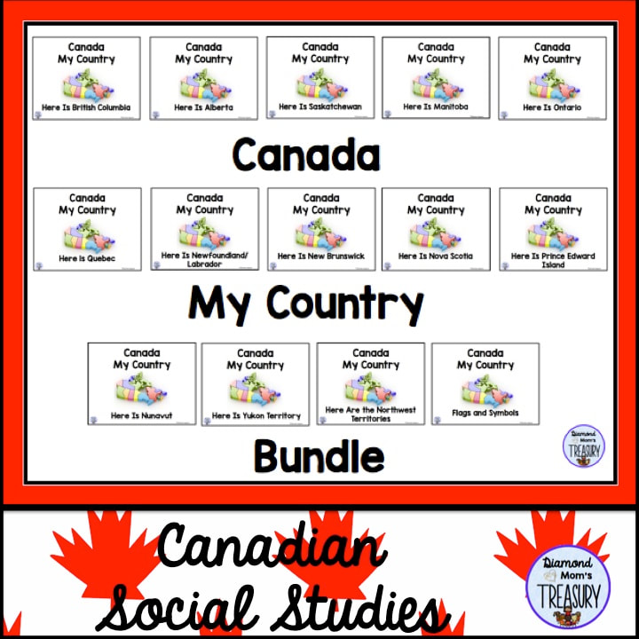
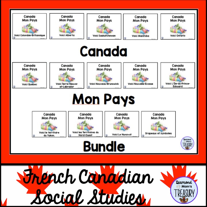
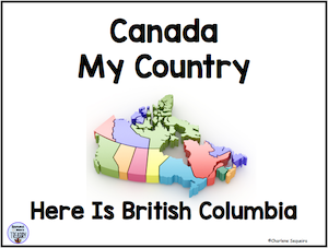
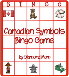
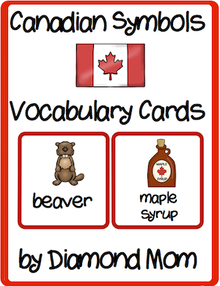
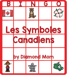
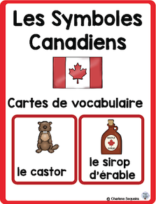
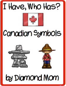
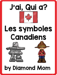
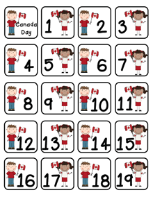
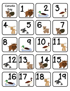
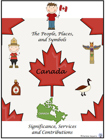
Canada is a big country with many different provinces and territories with special places and activities that make them unique. Learning about the many cultures and interesting facts can be fun, but depending on the resources and activities, it can also be difficult for some children. Informational text and reference materials often use much more technical language than some children are used to and this makes it hard for emergent readers to handle. That doesn't mean they can't do the job, but it does mean that they may need some extra support and resources that are less difficult to read. Provinces And Territories BookletsI have created a series of books about the provinces and territories in Canada that are suited for doing basic research and usable by students in late primary and early intermediate grades. They were created to help those who were overwhelmed with reference materials. French is Canada's second language, and French Immersion is taught in many places. It is also the main language in some places on the east coast of Canada. I have created these materials in both English and French for this reason. Here is a video preview from one of the books in the series. Click on the image to view it. More Canadian ResourcesI have also created other materials for working with symbols of Canada. Here is a bingo game that I created. It has 6 different boards and is available in English and French. These 24 symbols represent Canada from coast to coast. There is one card that has the words with the symbols as well. I have created separate vocabulary cards as well that can be used for various activities. I Have, Who Has? games are fun and help kids focus on both images and vocabulary. These task cards are 24 symbols of Canada. They are a great supplementary activity for your Canada unit. If you are looking for some cute number cards for calendars or other activities, here are some with Canadian kids and some with Canadian animals. If you are looking for a more in-depth study of Canada, check out my Canadian Social Studies section to find more materials. Here is one project in the section. Well, there you have it. If you are looking for some resources for your late primary/early intermediate classroom check these out. Have fun studying Canada with your students.
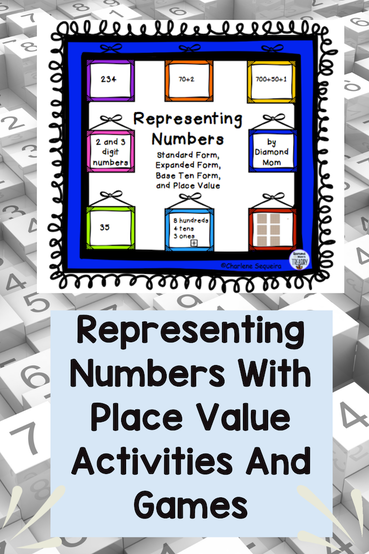
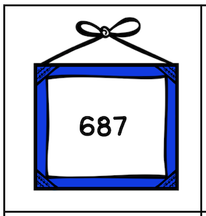
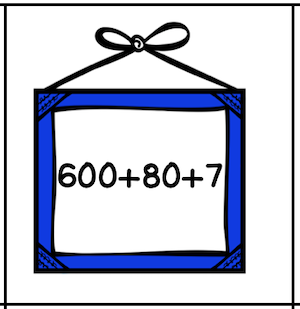
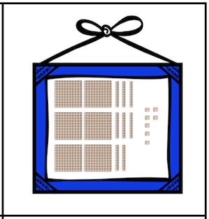
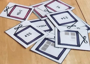
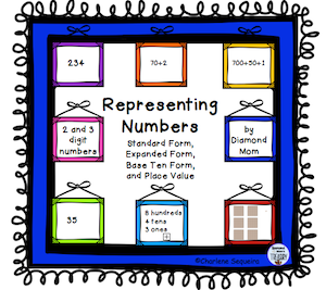
Place value activities help children to understand numbers and what the digits mean. Here are some fun place value games and activities to help children to represent numbers in a variety of ways. Different Ways For Representing NumbersHere is a matching game that helps kids find the three different forms of the number: standard notation, expanded notation, and base ten form.
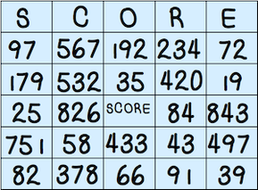
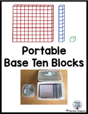
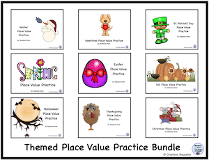
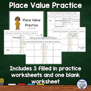
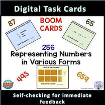
These bingo cards go with the number cards above. You can choose one set of numbers and play bingo with them. The base ten cards are more difficult to use, so I recommend that you do this with partners so that the players can look carefully at the cards to figure out the numbers. The expanded notation and standard notation cards can be used with larger groups. Place Value Games And ResourcesThemed place value worksheets are a great way to move from concrete activities to abstract practice. These worksheets are great for year round use. They give practice with standard notation, expanded notation, base ten form, and number words. I have made a generic one as well. Click the image below to get your free place value practice worksheets. This is the product that I used in the above examples. It contains the three forms of representing numbers and 6 bingo cards. Click on the image to find out more. Get your place value worksheets here. If you prefer on online version, you can try these Boom Cards. Click on the images to find out more. |
About Me Charlene Sequeira
I am a wife, mother of 4, grandmother of 9, and a retired primary and music teacher. I love working with kids and continue to volunteer at school and teach ukulele. Categories
All
|




 RSS Feed