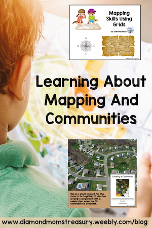
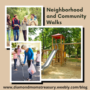
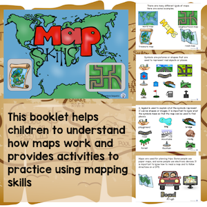
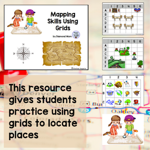
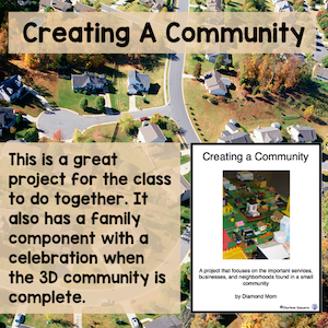
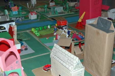
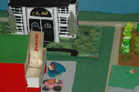
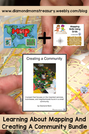
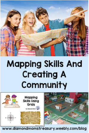
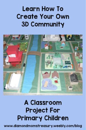
Fun Ways To Teach Children About Mapping And CommunitiesLearning about the world around you is an exciting concept and a time of wonderment for children. They enjoy learning about how maps work, as well as what makes up the community around them, the country they live in, and other countries around the world. There are many ways to teach these skills to kids. I personally like to do it through hands on activities and research projects. In most curriculums teaching about community is a starting place for learning about the world around them. This involves learning about the different types of communities - urban, suburban, rural, and the features that identify them. This can be done by using books, videos, and field trips. One of my favorite things to do with my class was take neighborhood walks to check out the area around the school. Kids were excited to walk through their neighborhood and point out their houses and favorite places to others. They would take note of the different parks, forested areas, types of buildings, businesses, and other important landmarks. When we returned to the classroom we would discuss these different things and why they were important. We would also talk about how their neighborhood might be different from other communities and their neighborhoods. Many younger groups of children go on field trips to the fire station, police station. farms. grocery stores, etc. as part of their education about communities. They may also have visiting members of the community as part of their community helpers unit. Of course, depending on the type of community, these locations and visitors will vary. We can build on all of this information when learning about communities in more detail. It opens up discussion as to where different services and industries are located in the community and why these areas may have been chosen. Learning how to read maps and recognize symbols and locations on them is an important skill when studying about communities and geography. I have created some resources that help with this. It is important that we not assume that kids already know much about how maps work. Some may, but others will need to be walked through the different features and how to use them. This Map Skills booklet breaks it down into simple ideas. Once they understand how maps work, it is good to add some practical applications. Learning to use grids effectively can be practiced using different grid games and activities. Check out this mapping resource that uses grids.There is a digital version available also. If you really want to see if your students understand about communities, try out this project. It is a great way to incorporate all that you may have been studying. It begins will talking about the various types of communities, and then choosing a type of community to plan, design, and build. The design plan is directed by the children through discussions as to where to put things, what is needed, why they are placed in certain locations, and what the street plans will be. Scale is discussed and then the building of the 3D community begins. Check out these photos for some examples of one of the communities my classes built. If you are interested in a resource that will combine all of these elements, check out my bundle here. I hope your students enjoy learning about mapping and designing a community as much as mine did. I would love to see pictures if you choose to make a 3D community. Related Posts
0 Comments
Leave a Reply. |
About Me Charlene Sequeira
I am a wife, mother of 4, grandmother of 9, and a retired primary and music teacher. I love working with kids and continue to volunteer at school and teach ukulele. Categories
All
|

 RSS Feed