|
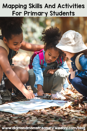
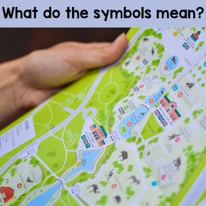
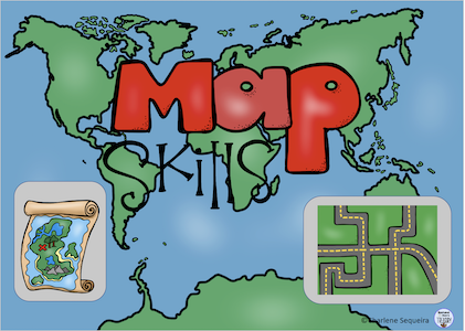
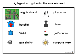
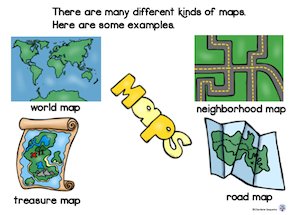
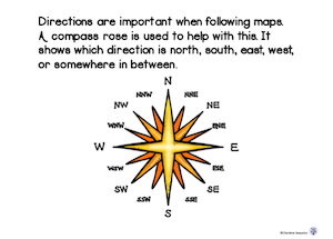
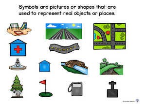
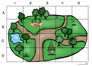
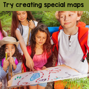
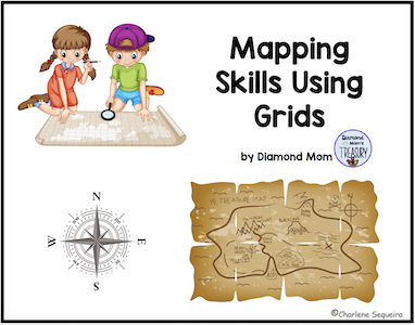
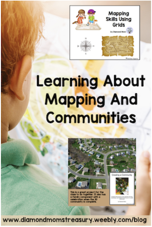
If you ask a group of young children what a map is, you're likely to get a variety of answers. Some will say it's a picture of a place, while others will say it shows how to get from one place to another. Some will even tell you that it's a way to find buried treasure! While all of these answers are technically correct, they only scratch the surface of what maps are and what they can do. But what all these answers have in common is that they recognize the importance of maps in our lives. Mapping is important for kids to learn about. It helps them develop their geography and spatial awareness skills, and can also be a lot of fun! There are a few key mapping terms and skills that need to be taught in order for them to be able to use maps effectively. Words like map, title, legend, compass rose, grid, scale, and symbols need to be explained and activities need to be done to practice using these terms. Key Mapping TermsIn a nutshell, here's a quick explanation of these terms. - A map is a two-dimensional representation of a three-dimensional space. - The different parts of a map include the title, symbols, legend, compass rose, grids and scale. - The title tells you what the map is of. - The symbols are shapes or small pictures that represent real things. - The legend explains the symbols used on the map. - The compass rose shows you which way is north, south, east, and west. - The grid is a set of lines that go up and down and side to side that help you find places on the map. - The scale shows the distance between places or objects. It can also be used for 3D maps to make sure that objects are appropriate sizes. Once kids know what the terms mean, they can start to figure out where things are on the map. This Map Skills booklet below will help explain these terms. Here are some sample pages. Mapping Activities To practice mapping skills, there are many different activities that children can do. Here are a few ideas to try. I have broken them down into different features. Identifying symbols and reading legendsFor identifying symbols and reading legends, provide a variety of different types of maps and have the children find the different symbols shown in the legend. Do the reverse as well. Find symbols on the maps and then identify them using the legend. It is important that they realize that sometimes the symbols do not look like the real objects, but with the legend, they will still be able to identify what they are. Using a compass roseUsing a compass rose can be lots of fun. If you have access to an area outside, it can be used to pretend to find treasure. For example: Take 10 steps North and then turn East for 20 steps. Turn South and follow along the fence for another 15 steps and turn Southwest. You are 12 steps away from the buried treasure. After physically practicing changing directions and moving, it is important to transfer this skill to a map. Perhaps they can find different places on a neighbourhood map and practice giving directions to others to help them find it too. Using gridsFor practice using grids, create grids on graph paper and practice drawing lines to connect the letters and numbers to see where they intersect. Put some objects on a grid and then play games like I Spy and have the kids tell you the coordinates for the space the object is on. You can also play games like Battleship. All of these activities will help them to become familiar with using a grid. Then you can move over to actual maps and do activities there. Working with scaleScale is a harder concept for kids to understand. It can be used in two different ways when creating a map or a community model. Scale on a map is used to represent distances. This ties in with measurement and understanding different linear measures such as inches/miles and centimetres/kilometres. Getting comfortable with using a scale with distance will take lots of practice. Using grid paper to practice drawing out different measurements will help with visualizing this. Measuring out distances on actual maps and doing the conversions is also necessary. For creating a community model, it is important for kids to see objects in relation to each other to understand how scale works. For example, if a toy car represents a real car, a toilet paper roll would be too big to represent a power pole. Creating 3D models help with visualizing scales of objects and what fits together. Creating own maps Finally, primary students can also learn how to make their own maps. This activity helps them understand how scale works, and how different features can be represented on a map. Kids love to be creative. Perhaps they could create their own neighbourhood map or treasure map and let others try to locate things using the skills they have learned. Maps are essential tools for navigation in the real world, whether we're trying to find our way around a new city or just planning a cross-country road trip. As children become more familiar with the features of a map and practice using their skills, they'll be better equipped to navigate their way through the world around them later on. Related Posts
0 Comments
Leave a Reply. |
About Me Charlene Sequeira
I am a wife, mother of 4, grandmother of 9, and a retired primary and music teacher. I love working with kids and continue to volunteer at school and teach ukulele. Categories
All
|

 RSS Feed