|
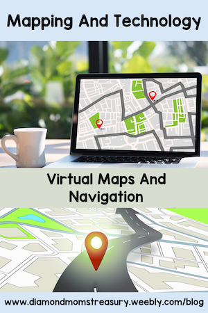
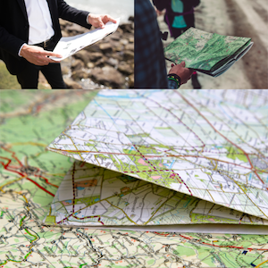
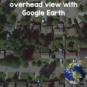
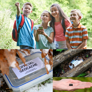
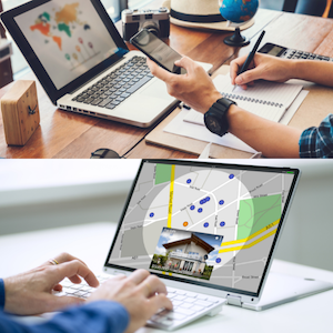
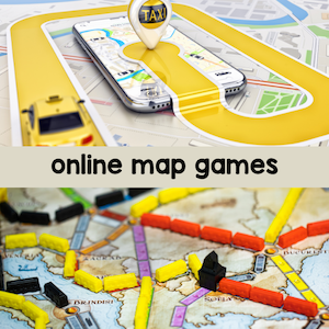
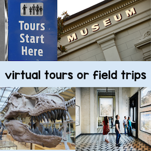
Travel today is very different. Technology has advanced so much that it is rare to see paper maps in the car now unless you are on The Amazing Race! I'm sure some of you remember hauling out a folded up map or a booklet of travel maps when taking a trip. You usually had to plot your trip at home so that you could find your way when driving or you needed a navigator to help you get to where you were going. Let's check out some different activities and resources that focus on mapping skills using technology. Google Earth ExplorationUsing the app Google Earth, start by checking out different places in the community. Kids love to see their homes on the screen. It can be fun to see how things have changed if the images are older and the houses have been renovated or painted. Once you have checked out areas in the community, expand the exploration to other parts of the country and the world. This is a great activity to tie in with a social studies project like my Flat Family Project where the flat families are sent around the world to other relatives. Plan A Geocaching AdventureGeocaching is popular around the world. It is really a high tech treasure hunt. Sometimes there are small trinkets to trade, but the excitement is really in finding the small cache (sometimes it is very small and called a nano). Kids love to go treasure hunting, so this is a great way to introduce them to the gps devices and how they work. Organize a mini-geocaching activity on the school grounds or in a nearby area. This will require students to follow GPS coordinates and maps to find hidden caches. I did this with my class and then we actually planted a cache for others to find. It was exciting to see the messages when people found it. Unfortunately, it isn't there anymore as someone took it away, but it was fun while it lasted. Virtual Map ExplorationUtilize interactive online mapping tools or apps that allow children to explore maps virtually. These tools can make map exploration engaging as well as interactive. They can zoom in and out, explore different regions, and locate famous landmarks. Encourage them to identify key features, read labels, and learn about different places. Online Map GamesIncorporate map-based games and quizzes to test and reinforce your students' knowledge. (You can always do some off-line games and quizzes too if you don't have enough devices available.) Virtual Field TripsTake your students on virtual field trips to different parts of the world. Websites and platforms offer immersive experiences that connect geography and culture. Local museums and other places may also have tours available that can be viewed online. Our museum had a walking tour of the different landmarks in town available. At each spot there were questions to answer. This was a great way to learn about the history as well as discover the locations of the the different landmarks. These are only a few of the different ways you can use technology with mapping skills. It might be fun to get your students to brainstorm more ways that technology is used and perhaps do a project or activity that shares these ideas with others. Related PostsComments are closed.
|
About Me Charlene Sequeira
I am a wife, mother of 4, grandmother of 9, and a retired primary and music teacher. I love working with kids and continue to volunteer at school and teach ukulele. Categories
All
|




 RSS Feed