Welcome To My Blog |
|
Welcome To My Blog |
|
|
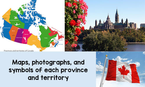
Teachers, do your kids struggle with doing research on Canada because the material is too difficult to read and understand? Would you like to find material that provides information in an easier to read format? 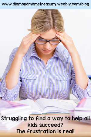 Does this sound like you?• the materials are too difficult for many of your students to understand • the students are constantly asking for help • there aren't enough resources available that are suitable for younger students • you spend hours searching for materials that will help your students • you start wondering if doing research is worth all the frustration 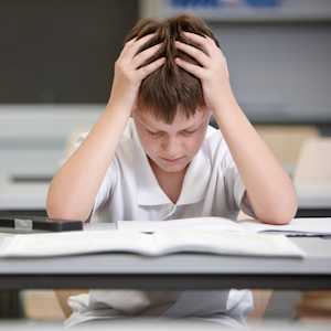 Are you tired of:• kids struggling to read and find information in nonfiction reference books? • kids getting frustrated and always needing help to locate information for their research? • searching for suitable material for younger students that has the information needed for research? 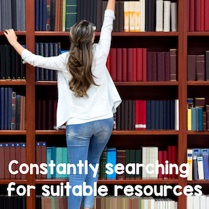 I've been there. I often tried to get my kids to do research for various different topics and I spent most of my time either helping them to find materials or helping them to navigate through the material to find the relevant information needed. I enjoyed doing projects with my students, but it was a lot of prep and energy to do so, especially for social studies. I knew I needed to make some changes. 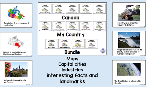 I created a series of booklets for Canada that were easier to read and full of pictures and maps that helped with the research. I then had a couple of classes try them out. They worked well and the kids felt successful with their research. Finally I had something that younger kids could use. 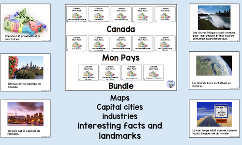 Research booklets for the 10 provinces and 3 territories There are individual booklets for each of the provinces and territories with an added booklet of the symbols for each. 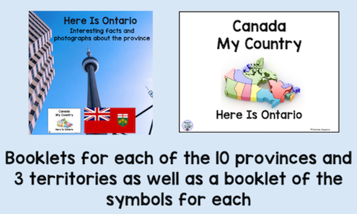 English and French versions available An English version, Canada My Country, and a French version, Canada mon pays, are available as individual booklets and bundles 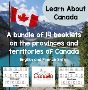 Easy to read format with photographs to help Each page features a photograph or map and an easy to read description. If your students are doing research on Canada's provinces and territories and need easy to read material, these bundles are right for you. 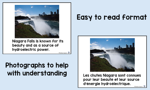 Here are some of the features:
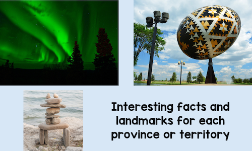
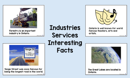
• Maps of the province or territory and its location in Canada • Photographs to go along with the research information • Information about industries, services, and interesting facts • A booklet of the symbols for each of the provinces or territories I created these booklets for my class when I saw how difficult the materials in our library were for them to read. It felt so good to see them doing the necessary research and enjoying it because they weren't struggling with the material. Don't take my word for it. Here's what others have to say:English version   French version   Get your Canada Research Bundle now and be ready for your kids to learn about the provinces and territories. Your younger students can do research successfully. Let's recap and you will see why these materials work • All booklets are set up with a similar format • They contain maps and explain where the provinces or territories are located • Capital cities and some well-known landmarks are included • Main industries or services are included • Interesting facts are included • Photographs are clear and visually appealing  Time to feel good about your kids doing research!  Related Posts
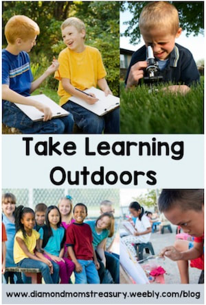
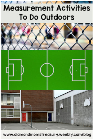
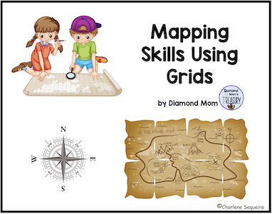
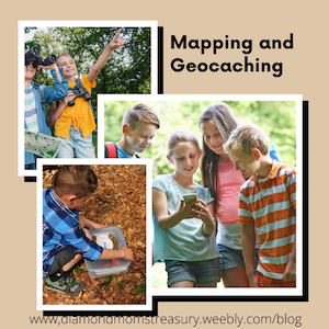
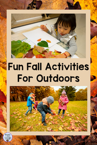
The sunshine is here and kids are anxious to get outside, so why not take advantage of this and do some outdoor math activities and other lessons? Many different subjects can be done outside the classroom walls if you add in some creativity and movement. Here are 5 fun ideas for teaching math and social studies outdoors. 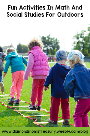 Taking Measurement OutdoorsMany classes study measurement in the spring. A culminating activity for this could be an outdoor event where teams practice linear measurement. Here is a resource that might help. Outdoor Measurement Games Team Events 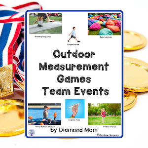 Working With Time And RacingIf you teach time in the spring, perhaps you could go one step further and introduce stopwatches. Timing different events can be fun and many different devices actually have stopwatches on them now. You could have a fun day with different activities that need timing, such as running, filling different containers, wheelbarrow races, etc. You could also set a time to beat and have the kids do activities that have to beat the time. For older children, comparing times, looking at the data and maybe even figuring out elapsed time could also be included. Because the kids are having fun and moving around, they won't realize that they are studying time, but they will be applying skills to real world situations. 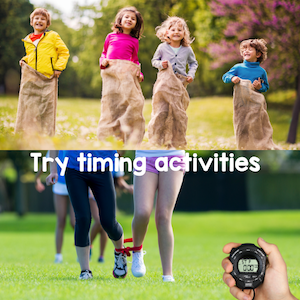 Taking Mapping Skills OutdoorsReading maps and understanding them is still an important skill in today's digital age. Many people rely on the maps feature in their vehicle or on their phone to get them from point A to point B, but they don't have a clear understanding of how to read maps on their own. Learning how to use mapping skills like directions and grids helps when using maps at places that don't have a digital option. For example, when you go to certain amusement parks, zoos, or other events that have activities and events spread out around the grounds, being able to follow a map is important. Just think of all the maps in malls, at parks, or even at visitor centers that have "You Are Here" indicated on them. Can you follow directions from there to get to where you want to go? Teaching kids how to use these skills in practical settings requires practice. Here is a chance to get outside and actually try to use them to find things, locate different areas, and be able to help others to find them too. Creating maps of the neighborhood or school grounds can also work as practice using grids, directions, and even symbols and legends. Here is a resource that may help. Mapping Skills Using Grids 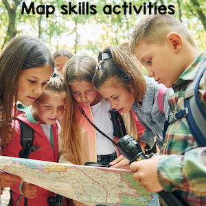 Using Grids And Working With ScaleUnderstanding how scale works is an important skill when interpreting maps, blueprints, house plans, and other documents. A great way to practice doing this is using grid paper and measuring the perimeter or area of an object and then drawing it on the paper. It is important to indicate what the size of each square is so that the measurements match what is drawn on the paper. You could choose the school yard, playground, surrounding neighborhood or any other area or object for your topic. Here is a resource that may help with understanding perimeter and area along with some activities to practice using both. Perimeter And Area 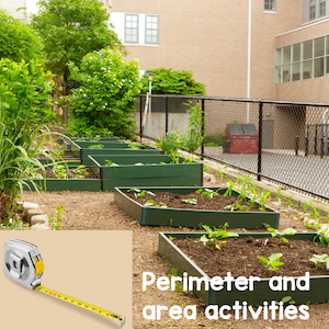 Solving Math Word ProblemsWord problems can be especially challenging for some kids, so taking them outdoors and actually doing some hands on work with them might help. I remember creating puzzles when I was geocaching that required people to solve math questions using objects in the park in order to find the coordinates. Something similar could be done in the school yard. For example, check out and find all the trash containers, swings, trees, signs, basketball hoops, hopscotch or foursquare marking, etc. Using these objects around the school yard, create math word problems that must be solved. You could work in pairs, individually, or even in teams to solve them. 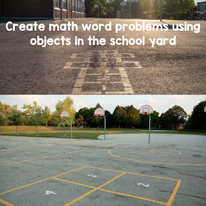 The Sky's The LimitThese are only a few of the different activities that can be done outdoors to work on math and social studies skills. Depending on what you are studying and how creative you are, there are many others that can be done as well. 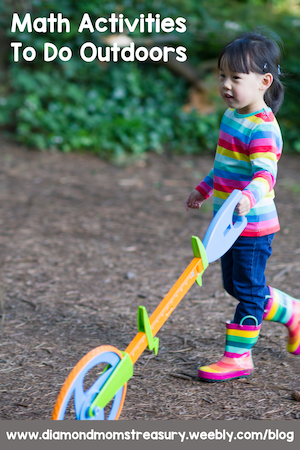 So get outside, have fun, and keep the learning going. Related Posts
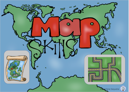
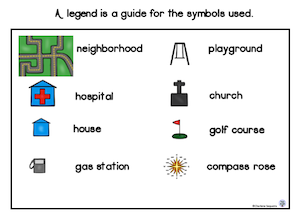
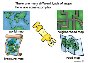
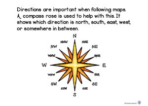
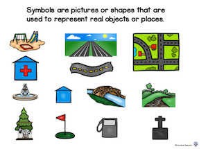
If you ask a group of young children what a map is, you're likely to get a variety of answers. Some will say it's a picture of a place, while others will say it shows how to get from one place to another. Some will even tell you that it's a way to find buried treasure! While all of these answers are technically correct, they only scratch the surface of what maps are and what they can do. But what all these answers have in common is that they recognize the importance of maps in our lives. 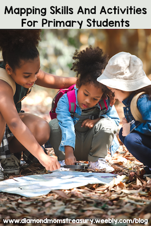 Mapping is important for kids to learn about. It helps them develop their geography and spatial awareness skills, and can also be a lot of fun! There are a few key mapping terms and skills that need to be taught in order for them to be able to use maps effectively. Words like map, title, legend, compass rose, grid, scale, and symbols need to be explained and activities need to be done to practice using these terms. 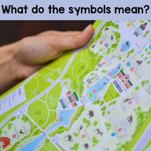 Key Mapping TermsIn a nutshell, here's a quick explanation of these terms. - A map is a two-dimensional representation of a three-dimensional space. - The different parts of a map include the title, symbols, legend, compass rose, grids and scale. - The title tells you what the map is of. - The symbols are shapes or small pictures that represent real things. - The legend explains the symbols used on the map. - The compass rose shows you which way is north, south, east, and west. - The grid is a set of lines that go up and down and side to side that help you find places on the map. - The scale shows the distance between places or objects. It can also be used for 3D maps to make sure that objects are appropriate sizes. Once kids know what the terms mean, they can start to figure out where things are on the map. This Map Skills booklet below will help explain these terms. Here are some sample pages.
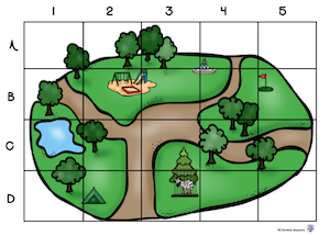
Mapping Activities To practice mapping skills, there are many different activities that children can do. Here are a few ideas to try. I have broken them down into different features. Identifying symbols and reading legendsFor identifying symbols and reading legends, provide a variety of different types of maps and have the children find the different symbols shown in the legend. Do the reverse as well. Find symbols on the maps and then identify them using the legend. It is important that they realize that sometimes the symbols do not look like the real objects, but with the legend, they will still be able to identify what they are. Using a compass roseUsing a compass rose can be lots of fun. If you have access to an area outside, it can be used to pretend to find treasure. For example: Take 10 steps North and then turn East for 20 steps. Turn South and follow along the fence for another 15 steps and turn Southwest. You are 12 steps away from the buried treasure. After physically practicing changing directions and moving, it is important to transfer this skill to a map. Perhaps they can find different places on a neighbourhood map and practice giving directions to others to help them find it too. Using gridsFor practice using grids, create grids on graph paper and practice drawing lines to connect the letters and numbers to see where they intersect. Put some objects on a grid and then play games like I Spy and have the kids tell you the coordinates for the space the object is on. You can also play games like Battleship. All of these activities will help them to become familiar with using a grid. Then you can move over to actual maps and do activities there. Working with scaleScale is a harder concept for kids to understand. It can be used in two different ways when creating a map or a community model. Scale on a map is used to represent distances. This ties in with measurement and understanding different linear measures such as inches/miles and centimetres/kilometres. Getting comfortable with using a scale with distance will take lots of practice. Using grid paper to practice drawing out different measurements will help with visualizing this. Measuring out distances on actual maps and doing the conversions is also necessary. For creating a community model, it is important for kids to see objects in relation to each other to understand how scale works. For example, if a toy car represents a real car, a toilet paper roll would be too big to represent a power pole. Creating 3D models help with visualizing scales of objects and what fits together. 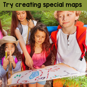 Creating own maps Finally, primary students can also learn how to make their own maps. This activity helps them understand how scale works, and how different features can be represented on a map. Kids love to be creative. Perhaps they could create their own neighbourhood map or treasure map and let others try to locate things using the skills they have learned. Maps are essential tools for navigation in the real world, whether we're trying to find our way around a new city or just planning a cross-country road trip. As children become more familiar with the features of a map and practice using their skills, they'll be better equipped to navigate their way through the world around them later on. 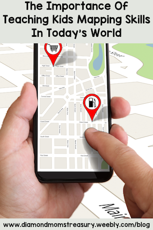  Related Posts
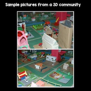
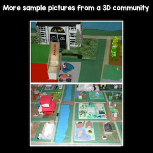
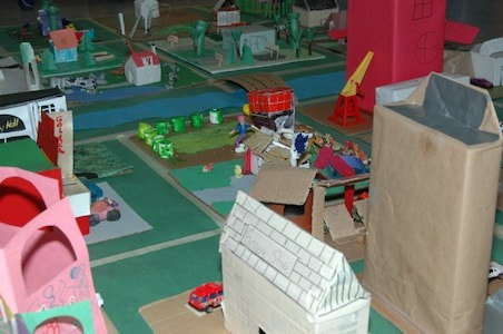
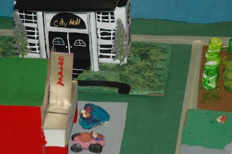
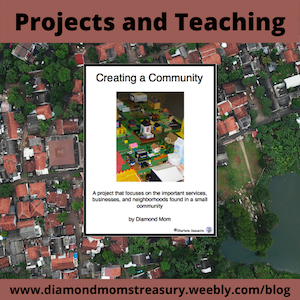
Have you ever wondered why some communities look the way they do? Why there are buildings in some places and not others? And why some communities have more services than others? These are big questions that are important to answer when teaching children about communities and community planning. 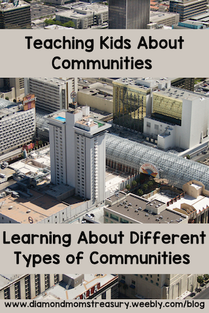 I loved creating a 3D community with my students. It took time to plan from beginning to end, many discussions and decisions, and space in the room for the completed project, but the final result was worth it. You can read more about it here. Types of communitiesBefore doing any kind of planning it is important to know what kind of community you want to create. Kids need to look at different types of communities and see how they are the same and different. There are 3 main types of communities to explore - urban, suburban, and rural. They have unique characteristics that need to be considered when doing community planning. Here are some to get started with. Urban communities- Urban communities are usually bustling with activity. - They are densely populated, with a mix of commercial and residential buildings. - High rises and busy streets are also often seen in urban communities. - There are a wide range of industries and services available from retail to healthcare to manufacturing. - Services and industries are often located close together, making it convenient for people to work and shop. - There are many restaurants and shops in urban areas to meet the demands of the population. 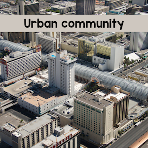 Suburban communities- Suburban communities are not as densely populated - They have less industry and fewer services than urban areas - They tend to have more parks and recreation facilities - There are many single dwelling homes with some small apartment buildings, townhouses, or other types of multiple dwelling homes. - There are some local schools - There may be some small shops and restaurants 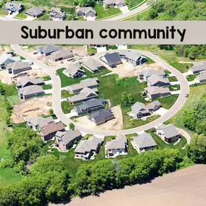 Rural communities- Rural communities are the least populated - They are primarily agricultural lands - They may also be used for industrial purposes - Houses are spaced further apart - There is much more space and privacy for people living there - Transportation access is important because of the distances away from many services such as schools and hospitals - Access to natural resources such as water supply is necessary 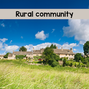 Community planningWhen planning a community, it's important to consider the needs of the population. What types of services and industries are required? Where should different types of buildings be located? What is needed to make the community work for its residents? These are all important questions that need to be considered in order to create a successful community. It's important to help kids understand the various types of services and businesses that are found in each type of community. Things like schools, hospitals, and public transportation are essential for any community to function properly. Locations of these services are different depending on the type of community, but they need to be accessible. By understanding these things, kids can develop a better appreciation for the importance of planning in any community.  Ultimately, a community needs to meet the needs of its population in order to be successful. This means that there must be a balance between residential, commercial, and industrial development. There also needs to be enough green space and amenities to support the community's residents. By taking all of these factors into consideration, planners can create communities that thrive. Kids love the hands on activities of planning and creating a community. Here are some samples of one community that was done by one of my grade 1/2 classes.
If you would like to see a copy of the plan that we used and some of the materials included, check it out here. 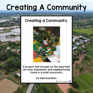 My class had a great experience creating this community. I wish you success should you venture to create one in your classroom. 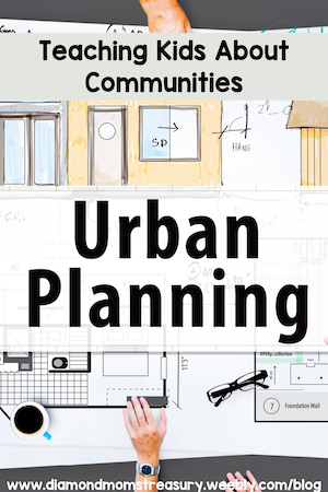  Related Posts
Round Up Of Tips, Ideas, And ActivitiesDuring the summer, there are lots of opportunities to do activities that blend academics and fun. This helps kids to practice and maintain concepts and skills already covered and also gives them chances to see how these concepts matter in real life. Here is a round up of different tips, ideas and activities that I have shared in the past that I feel are still relevant and worth revisiting.  Math is often thought of as lots of calculations, worksheets, equations and critical thinking activities, but in fact, math is used in almost every decision and action that we make on a daily basis. Math is everywhere around you. We use math for most activities without even realizing it. In my blog post Tips For School And Home:How To Help Primary Kids With Math, I suggested a few different activities for sorting and classifying, measurement, estimation, time, geometry, fractions, and basic operations. In Math Real Life Activities For Children I talk about math in the kitchen, math in the workshop, shopping and math, and working with money. These are only a few ways that math can be connected to real life situations at home as well as at school.  Language Arts - Reading and writing are only a couple of the components of language arts. In my blog post Tips For School And Home: How To Help Kids With Language Arts, I share several different suggestions and activities for the various aspects of language arts. It is important to note that language development starts at home and then is refined at school. There are many different ways to promote language development with reading, writing, and oral communication activities. I shared ideas and resources for phonics and vocabulary development, reading, writing, and oral communication in the above mentioned post. If you are looking for more ideas that will help with reading and writing for students that struggle in these areas, check out the following posts: Motivatiing Reluctant Readers Tips For Helping Struggling Writers In The Classroom  Just take a look around you and think about the various things you see and the things you do and if you start to analyze them, you will be amazed at how they involve science. Science is involved in every aspect of our lives. At school, kids are introduced to some of the basics, and various experiments and investigations are done. At home, more of these types of activities can happen and deeper learning can be accomplished. In my blog post, Tips For School And Home: How To Help Kids With Science, I break science down into different categories to help with providing a broad glimpse into the world of science. Hopefully, this will inspire kids to look further and continue to learn about the marvels around them. You will find some tips and ideas for chemistry, biology and life sciences, earth science, and several different areas of physics. Science Ideas For School And Home also gives some more ideas and possible activities that might be fun to try.  Social Studies is the study of people and their relationships to other people and the world. For young children, it starts with family and then spreads out to community, regions, provinces, states, or territories, and from there, to countries and the world. It can be broken up into 5 different categories: geography, history, culture and society, civics and government, and economics. I wrote 2 posts last year because there was so much to cover. Tips For School And Home: How To Help Primary Kids With Social Studies talks about geography, history, and culture, heritage and traditions and gives some ideas and possible resources that might work. Tips For School And Home: How To Help Primary Kids With Social Studies Part 2 This blog post focuses on the rights and responsibilities of people and regional leaders, relationships between people and the environment, multicultural awareness and diversity, and the interactions of First Nations people and early settlers. Social Studies Ideas And Activities For Outdoors also provides some tips and activities for learning more about the area where we live and the surrounding environment.  In my final instalment, Tips For Summer Support: How To Help Primary Kids, I focus on finding creative ways to do academic activities to make learning fun during the summer break. Well there you have a selection of tips and activities for the various academic areas that can be used to help kids keep learning throughout the summer while they are enjoying their holiday break.  I hope that these tips and ideas have given you some inspiration for ways to keep the learning going while having fun during the summer break.  Taking Learning OutdoorsSpring is just around the corner and along with it comes longer days, sunshine, fresh breezes, and early buds and blooms. What a great time to get outdoors with your students and take learning outside as well. 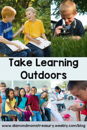 Ideas For Social Studies And Science OutdoorsThere are many different opportunities to cover academics outside and still enjoy the outdoors. Here are a few ideas that may help. For social studies, neighbourhood walks, checking out the community, following maps, doing geocaching and using coordinates are just a few things that can be done. If you want more information, check out my post about social studies outdoors. For science, you can do experiments such as coke and mentos to check out chemical reactions, the clink clunk test to investigate gravity, or do things to check out nature. Starting a garden, growing plants in pots and following their growth, taking a walk in the park or the forest, if you live near one, or visiting the seashore if you live near the ocean are just a few ideas. Kids love to interact with nature and they learn many life skills that they can use later on as well. 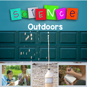 Reading and Writing Ideas For OutdoorsFor reading and writing there are many different options to try. Reading can be done in the environment by checking out signs, reading books with buddies while enjoying the sunshine, and playing games like Scoot for sight words are just a few ideas. During the warmer weather, we would often take our books outside for silent reading and find a quiet spot on the hillside at the edge of the playground to do our reading. One of my favorite activities for writing is to go outside and explore our senses. After making a list of different things for each of the senses, we use these ideas to develop stories. We choose a theme and use the list to create a descriptive story. My descriptive writing templates were developed for this. 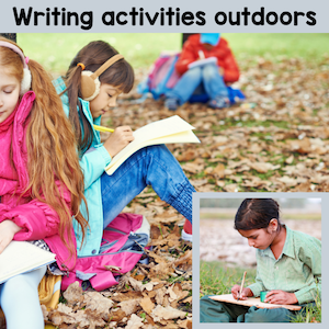 Math Ideas For OutdoorsFor math, the outdoors is a great place to work on measurement activities. You can do activities that work with larger units such as meters or yards and you can do perimeter and area activities. Kids love using the trundle wheels and measurement tapes to measure the fields, buildings, and other objects. The information gathered outside can then be used for creating scaled diagrams on graph paper. 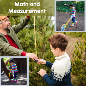 Taking Physical Activity And Gym Class OutdoorsTaking gym outside is an easy thing and I suspect is often done already. Many of the different sports can be done outside as well as inside. The fields and nearby parks are great open spaces for running activities, soccer, kickball, and games. Kids love being able to run around and get active without worrying about being too noisy. At my school, there is a courtyard and blacktop area with basketball hoops, tetherball, foursquare areas, or hopscotch games available. I liked using this for doing rotations of activities. Everyone could be doing activities at the same time instead of some people waiting for their turn. 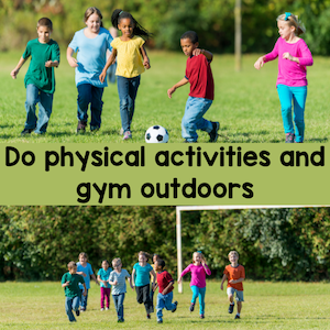 Try Music Games OutdoorsEven music class can go outdoors. I used to take my primary music classes outside to do circle games that require running and even rhythm games. One of my favorite rhythm games was a version of California kickball. Instead of just pitching the ball, I would clap out rhythms and they would have to say the rhythm correctly in order to get the ball thrown for them. 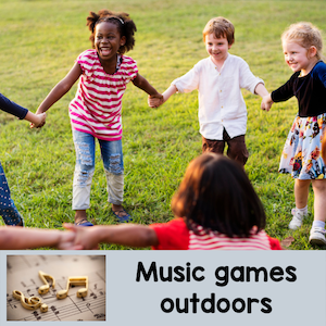 These are just a few examples of how you can take learning outdoors this spring. It really comes down to your own comfort and creativity. Enjoy the weather and have fun teaching outside. 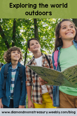  Related Posts
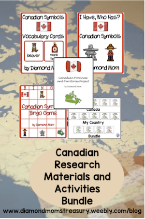
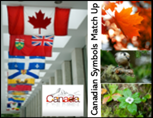
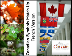
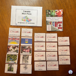
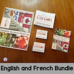
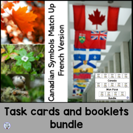
Research Activities Made To Help Younger Kids Learn About CanadaLearning about the country you live in and the flags and symbols associated with that country can be fun, but also tricky if you have trouble memorizing things. Using games and activities that are hands on will help with making the connections. These are especially helpful for those who need visual clues. I created a couple of games and task card activities to help with learning about Canada for my students. These were very helpful and they were engaging, so the kids found it easier to learn the material. They also had fun playing so they were more involved in their learning. They were a good supplement for Canada studies of the symbols and the research project was helpful for learning in more depth. 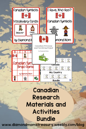 Because I was working with a French Immersion class and also tutoring students in French, I decided to create a French version of some of the resources. I then gave them to the teachers to use with their classes. 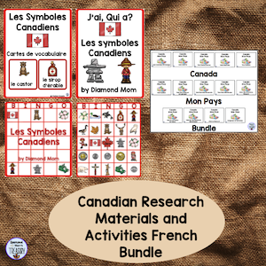 I also created a bundle of booklets for doing research on the provinces and territories. These booklets were created with younger children in mind because many research materials are very difficult for them to read and understand. These booklets use maps and pictures of important information and interesting facts to supplement the written information. Here are a couple of comments from those who have purchased this bundle. "The booklets were well put together and simple enough for my students who have trouble reading. They are a great way to round out the lesson and encourage reading them at home to their parents." "Really impressed with the high quality colour images and how effectively it portrays each province and territory. It was very beneficial for the class I was teaching. Thank you!" 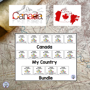 As with the symbols, I created a French version of these booklets. This set I gave to my grandson's teacher to try out. Here are some comments I received from buyers. "Finally I have a resource to support social studies in grade 4 extended French in Ontario students! Bravo! " "Love these! Beautiful pictures and information at an appropriate reading level!"  I decided to make a resource to help practice matching the symbols to the different provinces and territories. It is one thing to research and record what the symbols are, but quite a different thing to remember which symbols go with which province or territory. This task card matching set is for the flags and symbols of the provinces and territories. It is a great way to reinforce the information. It is a match up game that fits well with the small booklet from my Canada My Country series. I have also created the activity in French to go along with my Canada Mon Pays series. You can check them out by clicking on the images below..
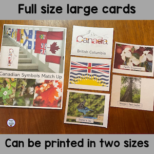
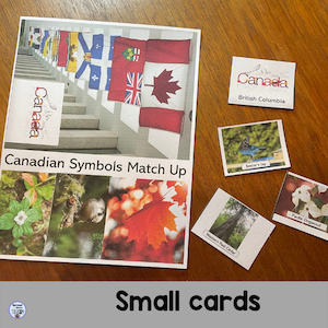
This is not as easy as you may think. How many times have you memorized material for a test only to forget it later on? It has been quite a while since I looked at the different symbols of the provinces and territories. When I tried to do it by memory, I did make a couple of mistakes the first time through. Once I looked at the booklet and refreshed my memory, it was not difficult to complete correctly. The key was to look for things in the images or on the flag that would help me out. For example, the Saskatchewan flag has the flower on it, so that was a clue. I knew that the loon was on the dollar coin, so that made me think of Canada and Ontario because that is where Canada's capital is. These are only a couple of examples of how I made some connections. Everyone will have their own way of making connections, but if we give kids a couple of examples to go by, they may be able to come up with some clues of their own to help them out.  Versatility is important when creating resources, so I made it possible to print these cards in two different sizes. The full size cards are large enough to use in group settings or if you would like to put them in a pocket chart or on the board for kids to sort. You could add small magnets to the back of the cards so they are easily moved around. The smaller size is great for when you want kids to work in centers or individually as they take up less space. These are printed as 2 pages on one sheet.
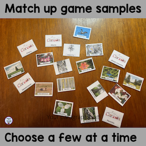
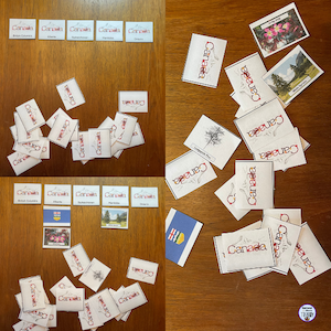
In order to make this more accessible, it may be necessary to do only one symbol at a time for some kids. This is also possible. You could focus just on the flags, birds, flowers, trees, or even the names of the different provinces and territories. You decide based on what works best for your kids. 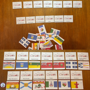 If you are focusing on one province or territory, you can use the cards to talk about the appropriate symbols for that province or territory. Then you could add to that as you move on to a different province or territory. Only choose a few areas at a time. 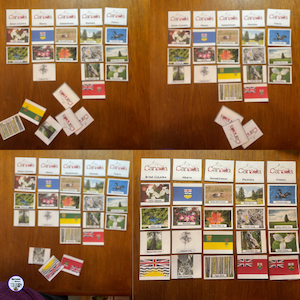 There are many different ways to play match up. Here are a couple of ideas. You can do them by matching up the different symbols with the help of the booklet. You can do a match up like memory by turning over a few cards at a time and deciding where to place them.
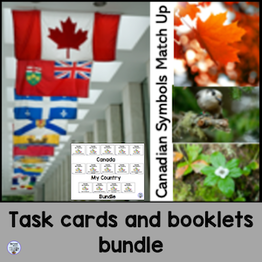
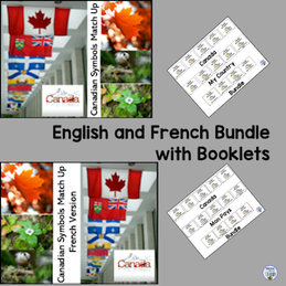
I have also created different bundle combinations for those wishing to have more options. With or without the booklets and with both English and French versions. Click on the images to check them out.
I hope these resources for Canada's symbols and the provinces and territories symbols along with the booklets will help to provide materials that help young children with their research of Canada. 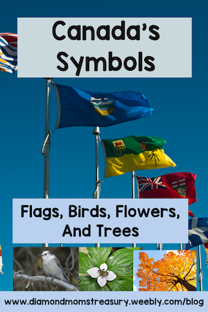  Related Posts
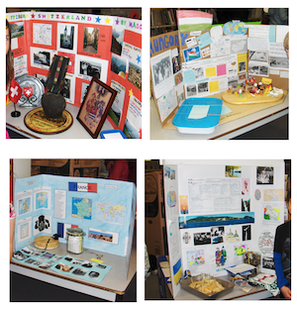
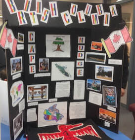
How to help children learn about their family heritageTeaching about family and cultural diversity can be fun, but also tricky. It is a time when some people may find it difficult to share or investigate their roots. I learned this as a fairly new teacher. I hope to be able to help change this. 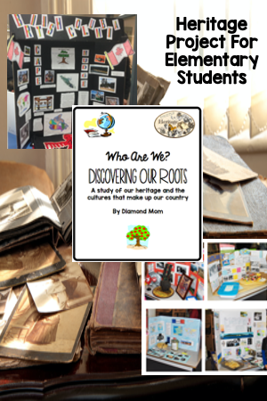 I had a young girl who was afraid to let people know about her background because she had been teased at a former school. She chose to use her mom's last name instead of her dad's last name because she didn't want people to know her nationality. This really disturbed me. How could people make such a young person feel like this? It was so bad, that when her half sister came to visit, she didn't want to share about her visit because they would hear her name and tease her. (at our school this would not have been the case, but she didn't realize that) I decided that I needed to do something about this. I wanted my students to be able to celebrate their heritage and be proud of it, not ashamed. I decided to create a unit where they could research the places where their families came from and share different traditions, cultural activities, food, and even special articles or memorabilia. 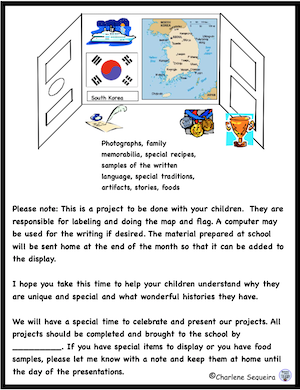 At the time that this unit was forming in my mind, my son was teaching in South Korea, and I had an exchange student from the place where he was teaching. This allowed me to work with the young student at the same time. (He had very limited English, so I was able to support him with his research and presentation.) I called the unit Who Are We? Discovering Our Roots. This unit was far more successful than I ever imagined. Every child created an incredible display of who they were and shared enthusiastically with others when we did a school wide presentation and a presentation to parents. We had music, food, special items that were from their culture and fabulous backdrop displays, The best part was, that everyone was excited to celebrate who they were, even my little girl who was so afraid earlier. As a matter of fact, she shared both her father's and her mother's roots. 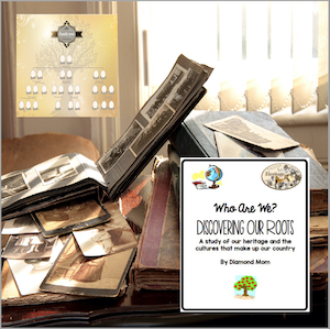 I decided to recreate this unit a few times throughout my teaching career, and each time I was thrilled to see how enthusiastically the kids embraced who they were and shared their traditions with others.
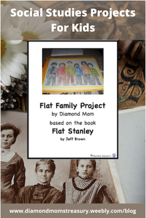
A few years ago, I learned about people sending cutouts of themselves around the world on adventures. I discovered that this was something that came from an idea based on the Flat Stanley books written by Jeff Brown. I thought this would be fun to do, but I decided to put more of an educational twist on it. I decided that we would send out flat families around the world to different relatives that lived far away from us. That is how the Flat Family Project was born. 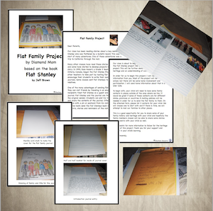 I did this project a couple of times before I retired and it was so much fun for the kids. Each child sent away a journal and a hand drawn picture of their family along with a letter and a return envelope. Throughout the following weeks packages arrived at the school filled with journal entries and photographs of the flat family adventures. Many also included special items from their family members that would be cherished keepsakes for years to come. I did have a couple of students that were unable to connect with a family member elsewhere, but they were still able to participate. I contacted some of my cousins and they said they would get their children to help out. It was so good to know that everyone would be able to take an adventure and receive a parcel back. (I did check with the students' families to see if they were okay with this.) One of the families even sent back a book for our class with an inscription and drawing of their flat family. 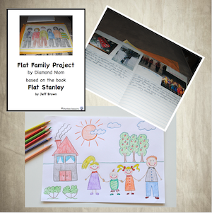 If you would like to check out either of these projects, you can find them here. I know that I would be doing them again if I was still in the classroom. 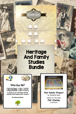  Related Posts
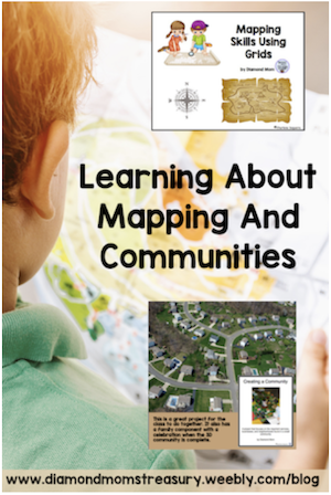
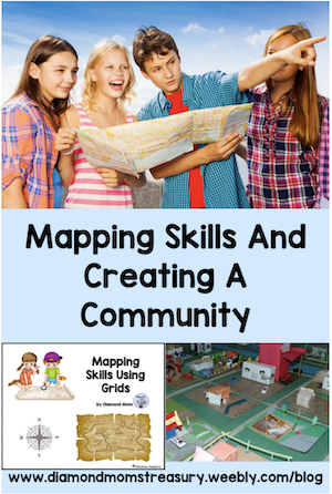
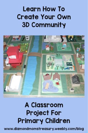
Fun Ways To Teach Children About Mapping And CommunitiesLearning about the world around you is an exciting concept and a time of wonderment for children. They enjoy learning about how maps work, as well as what makes up the community around them, the country they live in, and other countries around the world. There are many ways to teach these skills to kids. I personally like to do it through hands on activities and research projects. 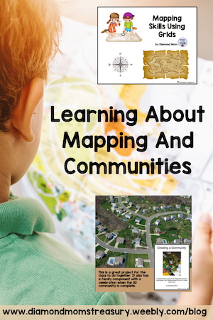 In most curriculums teaching about community is a starting place for learning about the world around them. This involves learning about the different types of communities - urban, suburban, rural, and the features that identify them. This can be done by using books, videos, and field trips. One of my favorite things to do with my class was take neighborhood walks to check out the area around the school. Kids were excited to walk through their neighborhood and point out their houses and favorite places to others. They would take note of the different parks, forested areas, types of buildings, businesses, and other important landmarks. When we returned to the classroom we would discuss these different things and why they were important. We would also talk about how their neighborhood might be different from other communities and their neighborhoods. 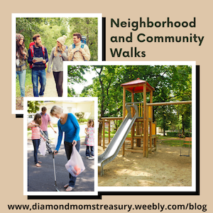 Many younger groups of children go on field trips to the fire station, police station. farms. grocery stores, etc. as part of their education about communities. They may also have visiting members of the community as part of their community helpers unit. Of course, depending on the type of community, these locations and visitors will vary. We can build on all of this information when learning about communities in more detail. It opens up discussion as to where different services and industries are located in the community and why these areas may have been chosen. 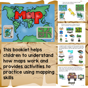 Learning how to read maps and recognize symbols and locations on them is an important skill when studying about communities and geography. I have created some resources that help with this. It is important that we not assume that kids already know much about how maps work. Some may, but others will need to be walked through the different features and how to use them. This Map Skills booklet breaks it down into simple ideas. 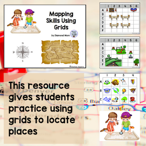 Once they understand how maps work, it is good to add some practical applications. Learning to use grids effectively can be practiced using different grid games and activities. Check out this mapping resource that uses grids.There is a digital version available also. 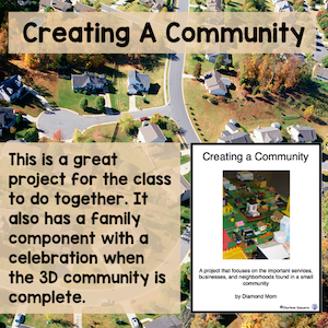 If you really want to see if your students understand about communities, try out this project. It is a great way to incorporate all that you may have been studying. It begins will talking about the various types of communities, and then choosing a type of community to plan, design, and build. The design plan is directed by the children through discussions as to where to put things, what is needed, why they are placed in certain locations, and what the street plans will be. Scale is discussed and then the building of the 3D community begins. Check out these photos for some examples of one of the communities my classes built.
If you are interested in a resource that will combine all of these elements, check out my bundle here. 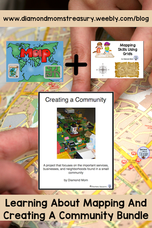 I hope your students enjoy learning about mapping and designing a community as much as mine did. I would love to see pictures if you choose to make a 3D community.  Related Posts
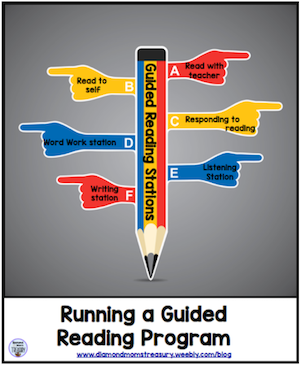
Back To Basics Is KeyGetting back to basics is key this year as many children strive to catch up after a year of online learning and missed opportunities for individual support due to the pandemic. Last week I spoke about focusing on the mental health of the kids first and academics second. That doesn't mean that we stop teaching the academics and following the curriculum, but we need to find the balance that will support the students where they are at. Returning to some of the basics will be key.  Literacy IdeasFor younger children, literacy is huge. Developing and nurturing literacy skills is important. This may include phonics, phonemic awareness, word attack skills, emergent reading and writing activities, and guided reading groups. Sometimes all of these will be needed as the range in primary classrooms can be developmentally wide. Choosing activities that are interactive and hands on will be more engaging than worksheets and will also allow for small group work so that everyone can be working on different skills or concepts that are appropriate. This will require some assessment, preparation, and scheduling, but it will be worth it. Check out my guided reading post to see how I managed this in a multi-level classroom.  Math ideasFor math, most curriculums work with a spiral approach so that skills are reviewed and then built on as the concepts are mastered. This is a good practice and makes it easier to adjust to meet the needs of the kids. In the primary grades it is important to make sure that the activities start with the concrete before moving to the abstract. Some kids are able to do this quickly and others will require additional practice with hands on activities. Small group activities and guided math situations will help with this as well. As with the literacy activities, you will need to assess, prepare, and schedule things to make them run smoothly. Check out this blog post for tips that help kids struggling with math.  Social studies in the primary grades can be global or community based depending on the specific concepts being taught. Mapping activities can be simple or complex to fit the needs of the children. Studying about the community and more global ideas can also be made simpler or more detailed for the children. Project based activities work well for this. Check out this post to see how I successfully used projects with my primary classes. You can also grab a mapping activity from my followers free resources page if you have subscribed to my newsletter.  As for science choose a few different areas and focus on them. It isn't necessary to do all the different topics. This will allow deeper learning and concept development. Kids love doing science experiments and learning about how things work. You can even add in a project if it works. There is a free gravity experiment on my followers free resources page as well as some other free resources in my TPT store that may help you out.    Related Posts
|
About Me Charlene Sequeira
I am a wife, mother of 4, grandmother of 9, and a retired primary and music teacher. I love working with kids and continue to volunteer at school and teach ukulele. 
Categories
All
|

 RSS Feed