|
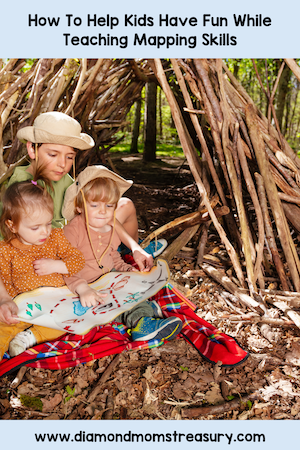
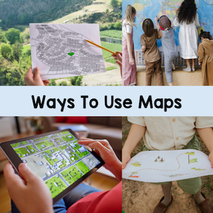
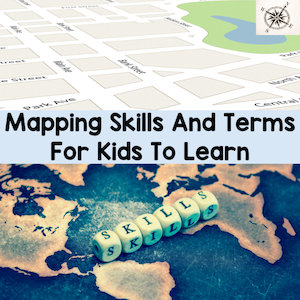
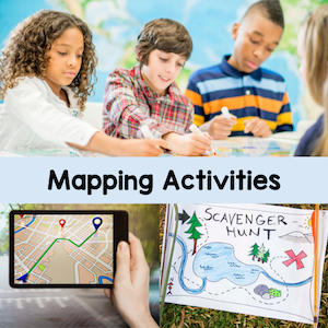
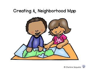
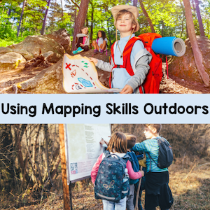
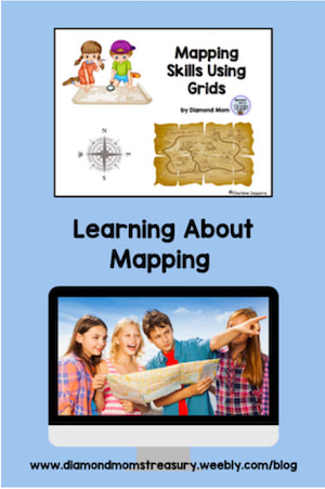
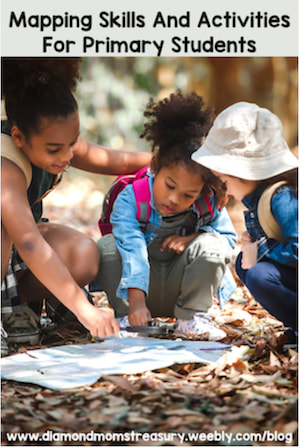
If you mention to your students that you are going on a treasure hunt, you can be sure there will be cheering and excitement along with lots of questions. Learning to read maps and use them are valuable skills for kids, and one way of capturing their attention is to link them to stories of treasures and adventure. Ways To Use MapsMapping skills can be exciting for kids if they are introduced in an interesting, hands on way. These skills help develop spatial awareness and teach kids how to navigate in their world. Here are some different ways to get started. 1. Look at a variety of different types of maps and try to find some similarities on them. Look for symbols, shapes, words, or other elements that may be important. Treasure maps, school maps, neighborhood maps, and even country or world maps are great examples. 2. Try following a neighborhood or school map and identifying the various areas or symbols that are on the map. 3. Walk around the neighborhood and make note of different things that are there. Draw a map that shows the different key elements and create a legend that can be followed by others. 4. Create a treasure map and a story to go along with it. Maybe even try to find a hidden treasure in the nearby area following a map. 5. Check out mapping programs like Google Earth and see the bigger world by exploring the neighborhood and beyond. Important Mapping Skills And TermsLooking at a variety of different maps and exploring the world around them is great, but in order to really understand how to read and use maps requires teaching about the different concepts and details. Young children need to be taught some of the vocabulary and also how to use the different symbols and components of maps effectively if they are going to be able to transfer these skills to various different types of maps. Here are some of the terms and aspects of maps that children need to understand and practice using to fully understand how to read maps. Map - A paper drawing or an electronic image that show where different places are located. There are many different kinds of maps. World maps, neighborhood maps, road maps, and treasure maps are just a few types. Legend/Key - This is a guide for the symbols used and tell us what they represent. Symbols - These are pictures or shapes that are used to represent real objects or places. Compass Rose - This is a symbol that is used to show the directions north, south, east, and west, as well as areas in between. It helps to make sure that we are going in the correction direction when following instructions for how to get somewhere. Grid - This is used to help locate areas on the map. The spaces where the letters and numbers interesect show where the object or place is located. Coordinates - These are the numbers and letters on the map that are used for locating the correct spaces on the grid. Scale - This shows the distance between places or objects. It can also be used for 3D maps to make sure that objects are appropriate sizes. Here are some booklets that help to explain and practice using these terms. Map Skills Mapping Skills Using Grids Once they understand what the various components are, they can begin to create their own maps. Here is a free booklet I created that can help them get started on creating a neighborhood map. More Mapping ActivitiesLooking for some more ideas and hands on activities? Check these out. 1. Create a treasure hunt: Provide children with blank paper and crayons/markers. Encourage them to draw their own treasure maps, including landmarks like trees, houses, and lakes. They can then hide "treasure" (e.g., small toys or stickers) and exchange maps with classmates for a fun treasure hunt. 2. Collaborative Classroom Map: Create a map of the classroom. Use a large piece of paper or a whiteboard and let students contribute by drawing key features such as desks, chairs, door, windows, and other important items. Discuss the purpose of each item and its location within the classroom. 3. Following Directions Game: Play a game where children practice following directional instructions in the school yard. Give verbal instructions like "walk two steps north" or "turn to the left and walk three steps west." This helps reinforce cardinal directions in a fun way. 4. Outdoor Scaventer Hunt: Take children on an outdoor scavenger hunt around the schoolyard or nearby park. Provide each child with a simple map indicating areas they need to explore and items they need to find (e.g., a tree, a bench, a flower). Encourage them to mark off each item as they find it and label the map where the item was found. As you can see, there are many components to learning how to use maps and understand them. Once kids get the hang of it. they can navigate to different places and create adventures that are fun and educational as well. Enjoy sharing these spatial adventures with your students and helping provide them with tools for future adventures. Next time I will share more ideas about mapping and how to create a 3D community. Related PostsComments are closed.
|
About Me Charlene Sequeira
I am a wife, mother of 4, grandmother of 9, and a retired primary and music teacher. I love working with kids and continue to volunteer at school and teach ukulele. Categories
All
|



 RSS Feed